Itinerari di viaggio animati per avventurosi, turisti invernali e giramondo
Come utenti di Vasco da Gama, conoscete i molteplici vantaggi del software
per creare itinerari di viaggio. Un grande vantaggio di questo programma di
animazione è la sua chiarezza. E questo è particolarmente vero con le nostre
mappe "Adventure". Questo è il pacchetto ideale per avventurosi, turisti
invernali e giramondo, grazie alle dettagliate animazioni degli itinerari di
viaggio.
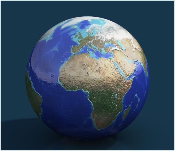
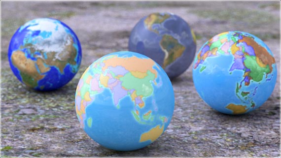
Una speciale caratteristica delle mappe
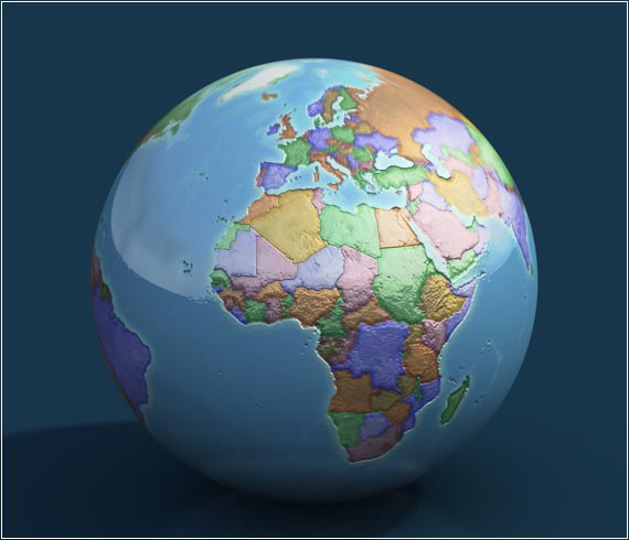
Il tipo di visualizzazione vi permette di vedere immediatamente quali paesi, paesaggi montuosi o innevati sono sorvolati o attraversati virtualmente. Se volete animare i vostri viaggi su mappe politiche o in territori di natura selvaggia, questo pacchetto è quello che fa per voi.
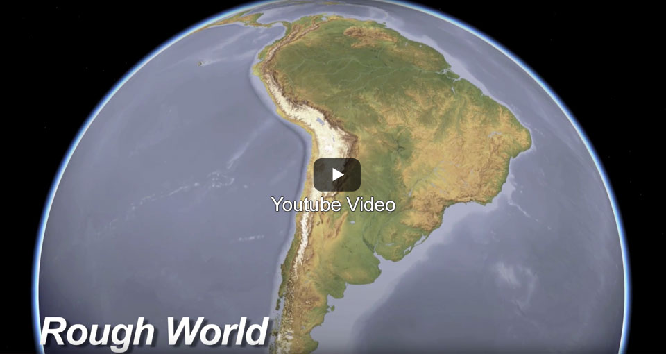
Viaggia sulla "Winter Map"
|
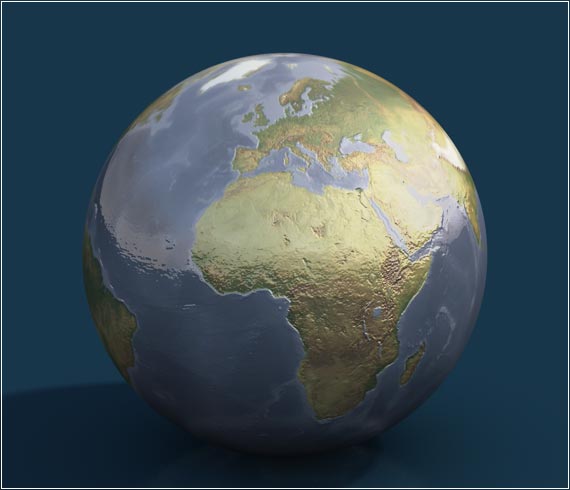
Rough World
|
|
|
Political Map 1
|
Political Map 2
|

|
|
|
Informazioni e note:Il pacchetto mappe è utilizzabile dalla versione 5 di Vasco da Gama |
I clienti hanno acquistato anche i seguenti prodotti
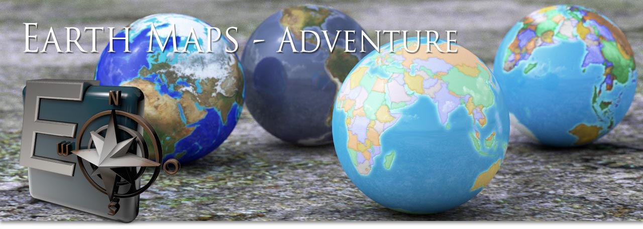
Earth Maps Aesthetic