With this DVD, you get a 90 minute multimedia learning course, which gives you a straightforward introduction to Vasco StreetMaps. The many video examples explain both the new features in Vasco StreetMaps, as well as the fundamental operation of the program.
Tips and Tricks
In this course we have looked to answer as many user questions as possible about Vasco StreetMaps:
Vasco StreetMaps is a powerful tool for creating world, country, or city maps in a variety of ways. With this course, you will learn how Vasco StreetMaps works and how to interact with Vasco da Gama. The course teaches you all the tools and functions, right up to the integration of maps in Vasco da Gama.
These and many more questions will be answered.
The learning course is a must for users who want to get the latest from Vasco
StreetMaps to produce spectacular world, country, city, or road maps.
The Vasco StreetMaps learning course can be viewed in German and English
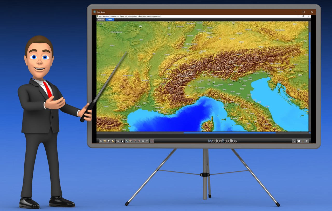
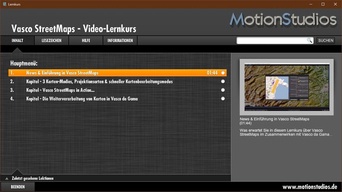
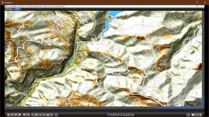
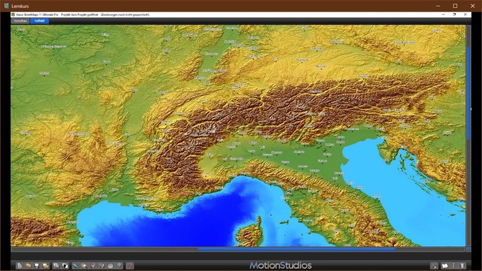
Some Vasco StreetMaps learning course screenshots
 |
 |
 |
 |
Introducing Vasco Street
Maps
What is waiting for you in this course on
Vasco Street Maps in collaboration with Vasco da Gama...
Chapter - 3 Map Modes, Map Projection Types and Fast Map Editing Mode
In the following lessons you will get an overview of the 3 available map modes, the map projection modes, the output formats with export of maps and the fast map editing mode in Vasco StreetMaps.
1. Overview of the 3 map modes in Vasco StreetMaps - Part 1
Detailed information, differences and overview of the 3 map making modes in Vasco Street Maps.
2. 3 Map Modes - Which files are created when saving - Part 2
Further details on the map modes and which files are created for further processing. Also, the transfer of maps from map mode 3 into Vasco da Gama is shown.
3. Output formats and map creation in map mode 1, 2 and 3 - Part 3
In this lesson we will show you how to export created maps to different output formats in map mode 1, 2 and 3.
4. Map projection types in Vasco StreetMaps
Information and basics about map projection modes WGS84 and Mercator in Vasco Street Maps.
5. Fast Map Editing Mode (Magic Edit Mode)
Vasco StreetMaps has a Fast Map Editing Mode (Magic Edit Mode), which makes it possible to create maps with a lot of details or modified content even faster.
Chapter - Vasco StreetMaps in Action...
The basics, the user interface as well as setting and working options in Vasco StreetMaps, the program settings up to the map size.
1. Introduction - User interface and general workflow
The user interface of Vasco Street Maps in detail and general workflows.
2. Map Mode 1 - Select the map section and display different tools
Map Mode 1: Create a new project, select a map section, and display and apply different tools/functions in Vasco Street Maps. Location searches via GPS are also shown.
3. Select Map Mode 2 and 3 - Map section and display various tools
Map Mode 2 and 3: Create and save a new project, select a map section, and apply various parameters such as map size, degree of detail, map projection, and their differences. The calculation of the full image of the selected map is also shown.
4. Change Map Mode during editing
In this lesson we will show you how to switch to another map mode (e.g. from map mode 1 to map mode 3) during editing without creating a new map project.
5. Graphics Settings - Display Parameters - Map Background
The basic settings of the map in detail, the choice of the map background including color scheme, the differences between preview and full screen mode as well as details on altitude relief including intensity adjustment. You will also receive tips on the option of transparent areas in maps as well as border lines.
6. Graphics Settings - Display Parameters - Other Settings
Other settings for the map in detail. You will receive, among other things, extensive information on traffic routes within the selected map and their setting options (color, line type, etc.). In addition, place names, symbols, nature (including color and structure adjustments), green areas and built-up areas are focused on.
7. Load and save color schemes
In this lesson, you will get extensive information about loading pre-installed color schemes and saving specially edited color schemes.
8. Program settings of Vasco Street Maps
In this lesson you will get all the details about the program settings, including GPS coordinates (GPS format) and language.
9. Map size information
In this lesson, you will get important information about map size and printing or use in a video project.
Chapter - Processing maps in Vasco da Gama
The creation of a high-resolution map (city map) in Vasco Street Maps and further processing in Vasco da Gama with the creation of a route and additional objects.
1. Create a city map and use it in Vasco da Gama - Part 1
Create a city map of Munich in Vasco Street Maps in map mode 3, save the new map and take it into Vasco da Gama as the basis for a route.
2. Create a city map and use it in Vasco da Gama - Part 2
Use of a city map in connection with 3D objects (points of interest) in Vasco the Gama. The insertion of points of interest in Munich in original size and at their exact GPS positions.
3. Post-processing of maps and import into Vasco da Gama
In this lesson, you will learn how to create and store (map mode 1) a map in Vasco Street Maps. Further adjustment in an image processing program (e.g., for graphic effects) and re-use in Vasco da Gama.
| Name | Description | File type | Preview | |
|---|---|---|---|---|
| 1. | EXE |
Other customers have also bought the following items